The questions
- 1
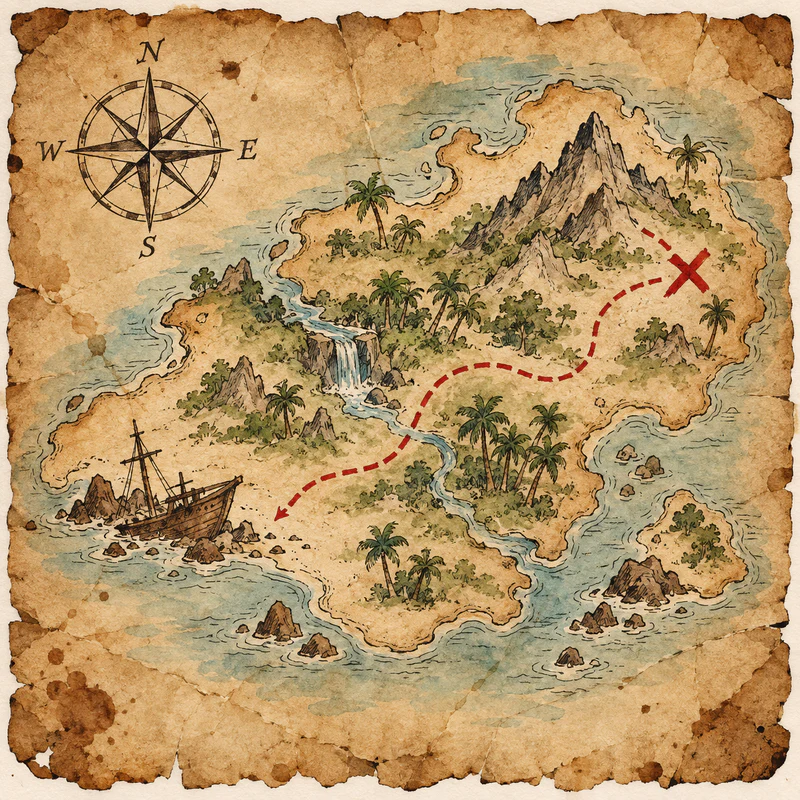
Which direction is at the top of most maps?
- East
- North
- South
- West
Answer: North
- 2
What is the opposite of east?
- North
- South
- Up
- West
Answer: West
- 3
If you face north, which direction is on your right?
- East
- North
- South
- West
Answer: East
- 4
If you face south, which direction is behind you?
- It's east
- It's north
- It's south
- It's west
Answer: It's north
- 5
Which direction is between north and west?
- North-east
- North-west
- South-east
- South-west
Answer: North-west
- 6
What does the "N" on a compass mean?
- It means near
- It means next
- It means north
- It means nothing
Answer: It means north
- 7
Where does the Sun rise?
- In the east
- In the north
- In the south
- In the west
Answer: In the east
- 8
Where does the Sun set?
- In the east
- In the north
- In the south
- In the west
Answer: In the west
- 9
What do we call the box that explains the symbols on a map?
- The grid
- The key (legend)
- The scale
- The title
Answer: The key (legend)
- 10
What does the scale on a map show?
- How distances on the map compare to real life
- How heavy things are
- How old the map is
- What the weather is
Answer: How distances on the map compare to real life
- 11
What do blue lines on a map usually show?
- Borders
- Railways
- Rivers
- Roads
Answer: Rivers
- 12
What do contour lines on a map show?
- Height of the land
- Rivers
- Roads
- Temperature
Answer: Height of the land
- 13
What do we call a map of the whole world on a ball?
- A chart
- A compass
- A globe
- An atlas
Answer: A globe
- 14
What do we call a book of maps?
- A diary
- A dictionary
- A globe
- An atlas
Answer: An atlas
- 15
What is a grid reference?
- A kind of compass for finding north
- Numbers and letters that show a square on a map
- The name written at the top of a map
- The number of a road on a map
Answer: Numbers and letters that show a square on a map
- 16
What does a compass needle always point to?
- Magnetic north
- The nearest city
- The sea
- The Sun
Answer: Magnetic north
- 17
How many main compass points are there?
- Eight
- Four
- Six
- Two
Answer: Four
- 18
What is the imaginary line around the middle of the Earth?
- The equator
- The horizon
- The prime meridian
- The tropic
Answer: The equator
- 19
What do we call lines that go from the North Pole to the South Pole?
- Contour lines
- Lines of latitude
- Lines of longitude
- The equator
Answer: Lines of longitude
- 20
What do we call the lines that go around the Earth like rings, parallel to the equator?
- Borders
- Lines of latitude
- Lines of longitude
- Rivers
Answer: Lines of latitude
- 21
What can a map scale of 1:100 mean?
- 1 cm is 1 km
- 1 cm on the map is 100 cm in real life
- The map is 100 years old
- There are 100 roads
Answer: 1 cm on the map is 100 cm in real life
- 22
What do we call a drawing of a place seen from above?
- A diagram of a person
- A plan or a map
- A portrait
- A selfie
Answer: A plan or a map